
![]()
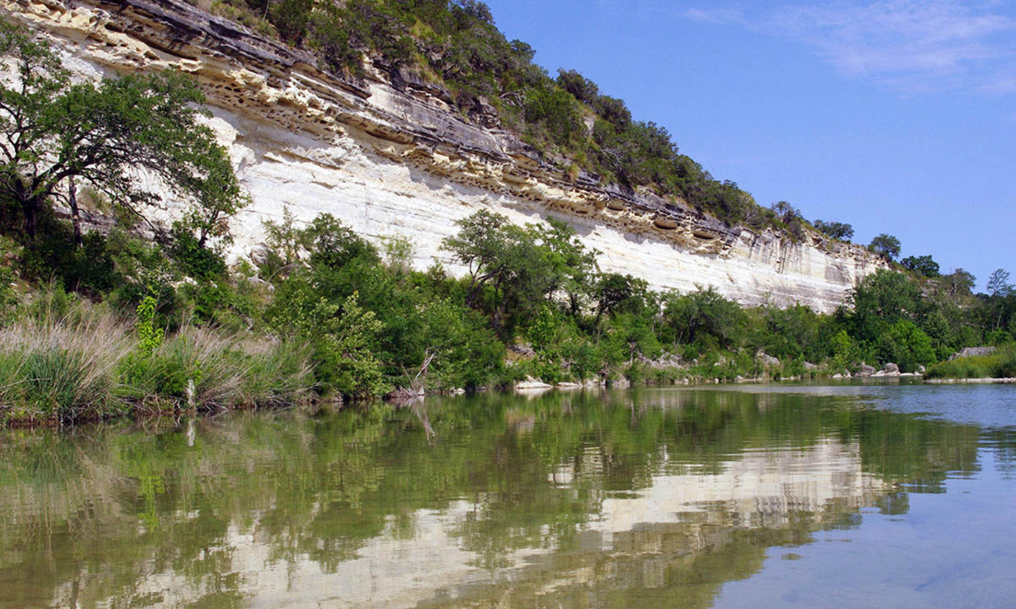
The Blanco River rises in northeast Kendall County, then flows approximately 87 miles southeast through Blanco and Hays Counties, where it joins the San Marcos River. The upper section of the Blanco is noted for containing historic Indian mounds and unusual geologic formations. The lower section passes between bald cypress-lined banks and through areas of scenic beauty. For most of its length the river remains shallow and most of the recreational use is feasible only for those sections where water has backed up behind low water dams, or “weirs”. However, during periods of heavy run-off, the Blanco retains good water levels for kayak and canoe use. At these times, interesting rapids and swift water are present for the entire length. However the feasibility of the Blanco for use by the public may be limited since, for the most part, access to the river is privately owned.
The Blanco River Pocket Guide is available here: http://pocketguides.www.texasriverbum.com/