This last Sunday, October 9th, 2011 we got the most significant rainfall in the Texas Hill Country since September of 2010. It was not enough to break the drought but the Colorado River and parts of a couple of others at least saw some relief.
Lets review the results of this rain, starting with the Colorado River and the Highland Lakes. As the storms moved slowly east a couple of heavy rainstorms directly hit the Colorado River, the first in the Upper Basin and the second in the Lake Buchanan basin. Both of these areas exceeded 6 inches in rainfall with the surrounding areas receiving near or slightly more than 4 inches.
Along with some flooding from the Lake LBJ basin resulted an incremental but still welcome bump to the 2 main water holding bodies for the upper Colorado River system. Lake Travis went up almost 1 foot and Lake Buchanan up almost 2 feet in elevation. Considering the surface area of these lakes, that is a lot of water and will help in the near future if the drought continues.
Detailed information can be found at: http://hydromet.lcra.org/full.aspx#
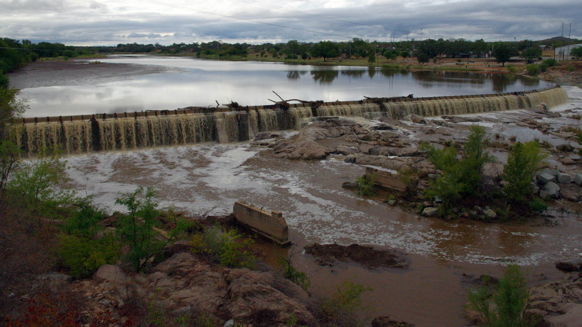
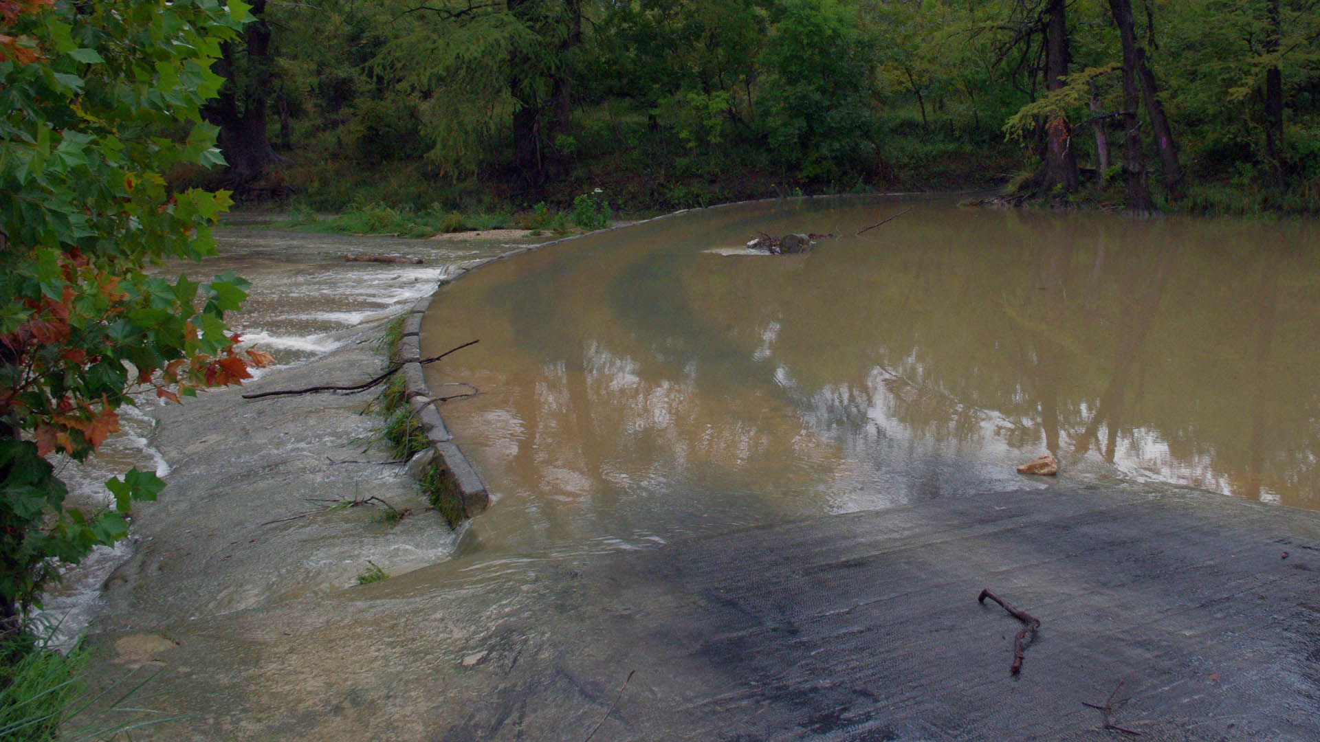
A big surprise was a flash flood on the Llano River near the town of Llano. At about 5am, a deluge resulted in a flow of about 8000cfs of water overflowing the dam. This was up from the trickle of 10cfs just prior to the storm.
The photos above was taken in the late afternoon when the flow had receded to about 400cfs.
Llano River @ Llano: http://waterdata.usgs.gov/tx/nwis/uv/?site_no=08151500&PARAmeter_cd=00065,00060
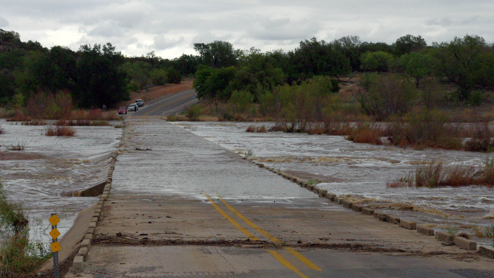
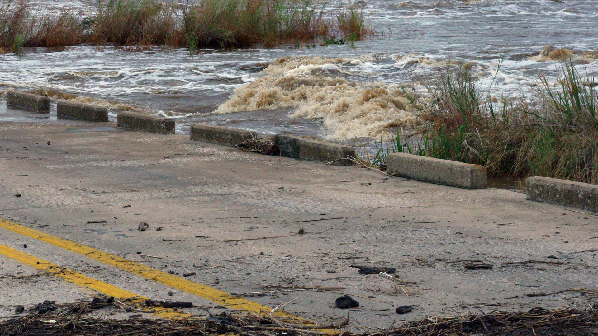
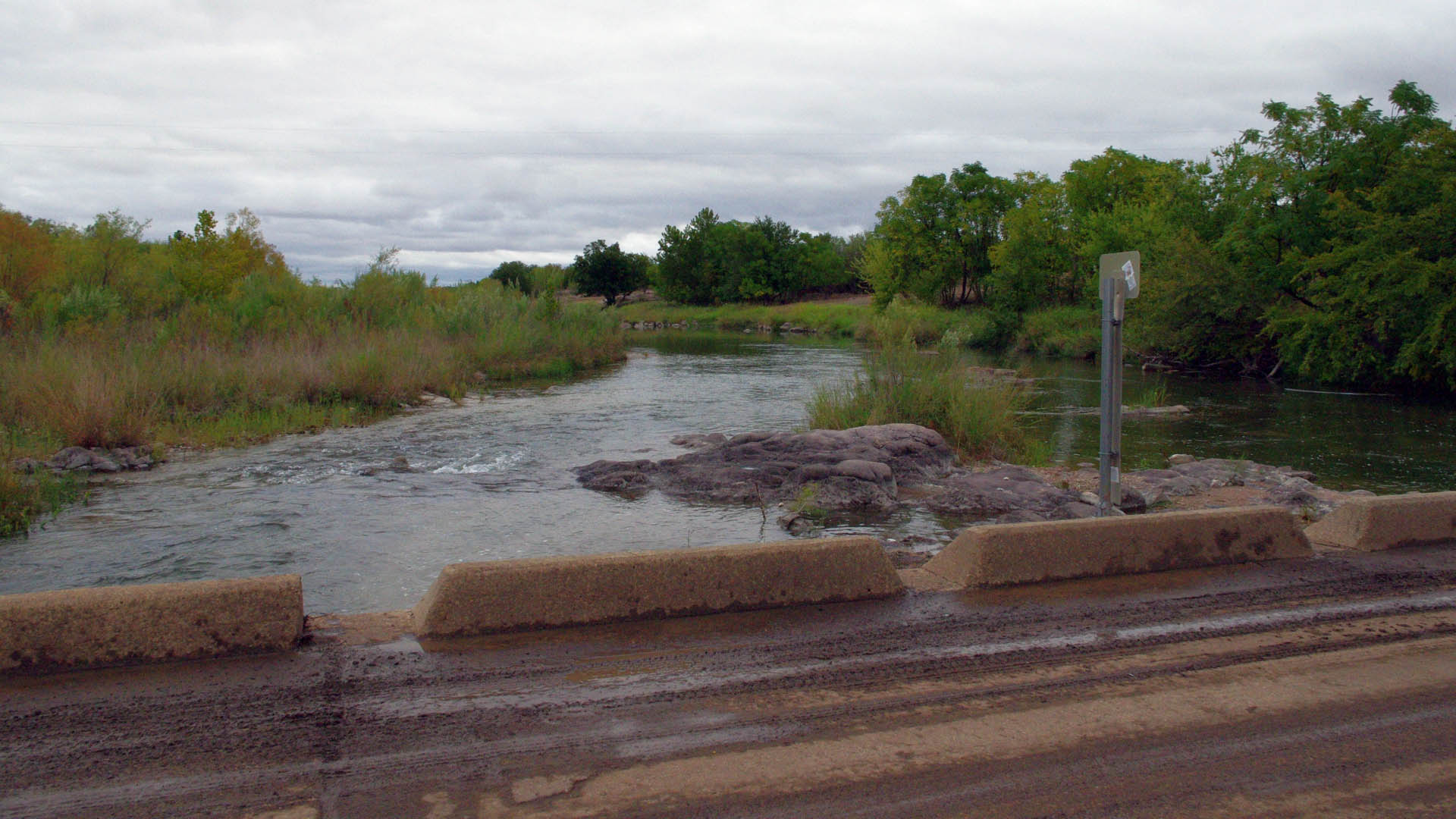
Further down river this rush of water was not as brutal but still caused flooding including the closure of the Slab Road crossing near Kingsland.
The flow rate when these photos were taken in the early evening looked to be between between 300 and 400cfs.
What does all this water this mean for the Llano River? Unfortunately, the river below the town of Llano is going to drop fast since the town is being very conservative about letting any water out of the dam at all other than overflow. The drought has already hurt them and with no end to it in sight they have no option but to hold the water. This means that as soon as the upper Llano River flow drops, the lower part of the river will return to a trickle.
But the good news is that the upper part of the Llano River to include the South Llano River is by far the healthiest river in the Texas Hill Country right now. The Junction area had benefited from the strong spring water in the South Llano and a few lucky rain storms in the last couple of months. They even got a nice little .5 inch rainfall the previous week around Junction that extended the rivers strong flow all the way down river to Castell even before this big storm came through.
Now that Junction has received about 4” of rain the flow at Junction is very good indeed. for at least the near future, the section of Llano River from Junction (inclusive of the South Llano River) all the way down to Castell will be a great place to paddle or fish.
Llano River @ Junction: http://waterdata.usgs.gov/tx/nwis/uv/?site_no=08150000&PARAmeter_cd=00065,00060
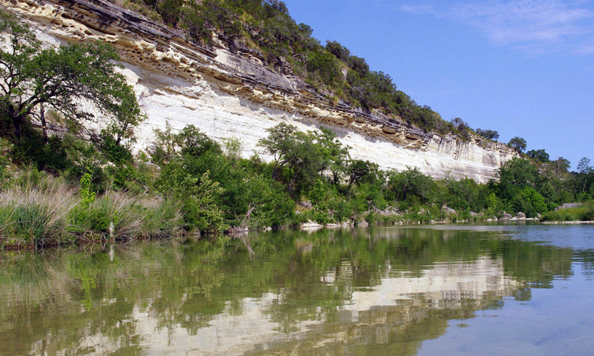
The Blanco River also got a very nice amount of rain with nearly 4 inches received in the Wimberley area. This caused the Blanco River in that area to jump from 10cfs to 229cfs with very minor flooding.
The photo was taken in the early afternoon at the Wayside Drive crossing (aka Slime Bridge) when the flow was an estimated 150cfs.
Unfortunately the heavy rainfall was very localized and the Blanco River upstream of the Fischer Store Bridge got no notable rain and so the river in those sections is still very, very dry. Also the Blanco River is notorious for receding down very quickly to its previous levels unless the underlying aquifers get recharged and therefore increase the spring’s flow rates. A short and isolated storm of this type will not do that so I predict that the Blanco River near Wimberley will return to a rate of flow marginally above its previous one within a week, probably around 15cfs.
Blanco River @ Wimberley: http://waterdata.usgs.gov/tx/nwis/uv/?site_no=08171000&PARAmeter_cd=00065,00060
The ever suffering Pedernales River saw no change to its almost zero flow.
The upper Guadalupe River didn’t really benefit much from this storm is still really low down river of the town of Comfort all the way to Canyon Lake. The sections of river upstream from Comfort were lucky enough to catch a few small fast moving storms over the last couple of months keeping the flow rates low but not tragic.
I do not have information regarding the Medina, Sabinal, Frio or Nueces rivers but based on watching radar imagery it looks like they got at least a bump to their flow rates.
So to summarize, the Llano River was the big winner in the recent storms with the upper Llano being a very healthy river, especially in a time of drought. The Blanco River around Wimberley got a temporary rise in flow that will at least clean out the vegetative muck that was accumulating but will more or less return to its previous flow rate in a couple of weeks.
The Highland Lakes also got some help but that water system is too large and complicated for me to understand fully and I’m not sure of the actual impact it had.
