This awesome write up was sent in by Bret Cox, enjoy:
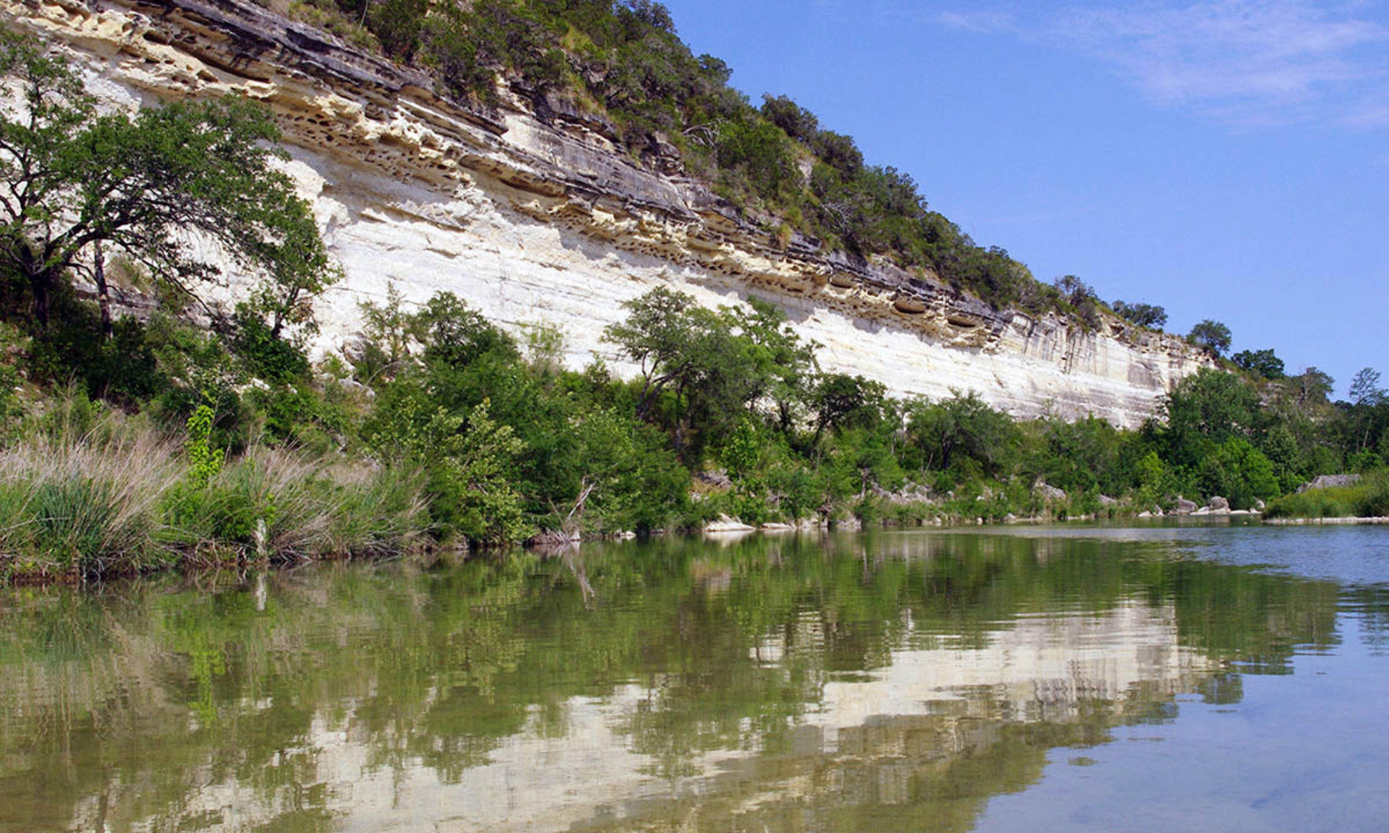
My old College roommate Dean and I both love the outdoors, and really enjoy visiting beautiful and unique Texas landscapes. After a visit to Jacobs Well in June 2012, we decided the Narrows would be our next trip, after Dean found some pictures of the place on a Facebook page. Dean, having majored in Water Management at Texas A&M, had a fairly good knowledge of Texas navigability laws, but I wanted to research myself as well. The Texas River Bum website proved invaluable in this effort, both in terms of understanding our rights, and physically what to expect on this stretch of the Blanco River.
My brother’s imminent wedding would provide the perfect opportunity, as I could use the trip as a bachelor party, killing two birds with one stone! June 8th would be the day, one week before the wedding.
Dean and I scouted out the area Saturday June 2nd, to decide how we were going to get to the narrows. The water at the 2nd Chimney Valley Crossing was flowing well and looked deep. There was water as far as we could see from the bridge. Looking at the data, it appears the flow at Wimberley was between 60-70cfs at that point. Leaving the Chimney Valley crossing, we were optimistic that we would be able to kayak a good chunk of the way at least, and hopefully the whole thing.
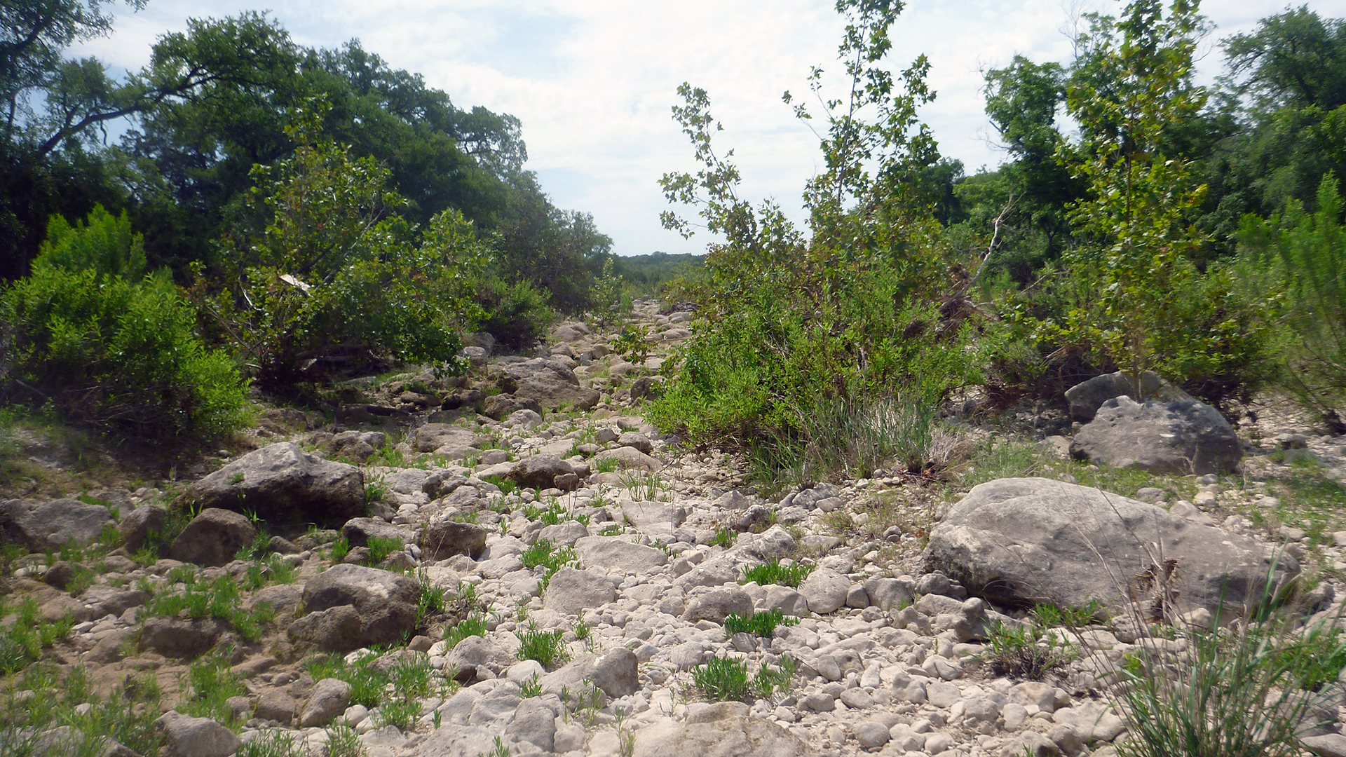
We headed next to the Valley View crossing, hoping to see flowing water there as well. We arrived disappointed, seeing lots of rocks and little water. We hiked upstream to see if things looked better, as we would be willing to carry the kayaks a little ways if we could paddle the vast majority. We went up a half mile or so, and found mostly dry riverbed with a few small stagnant pools. From the point at which we turned back, we could see a fairly large pool upriver, but with time constraints, we were unable to hike any further. We didn’t want to risk the unknown, so, at that point we decided the following weekend we would kayak as far as we could, ditch the boats, and hike the rest of the way to the Narrows if the water ran out.
I knew the trip would be an intense one, not for the faint of heart. My thirst for adventure craves this kind of stuff, and I was excited for it. But, I didn’t want anybody to get in over their head, so I let everyone involved know about the potential difficulties and gave them the opportunity to back out. One did, but for the others I immediately instituted a no whining policy 🙂
I was happy to see the water still flowing well when we arrived the morning of June 8th. Paddling was calm and peaceful for the first 1/3 of a mile, until we hit a check dam. The water was flowing around it to the left, and we managed to paddle, push, and scrape our way along the fast flowing shallow water to the next pool without getting out of the boats. From there until mile 1.4, we alternated paddling along the pools and dragging across the riffles.
At mile 1.4, the river makes a turn east, and the water is pretty deep here. This is the same place where the Dry Blanco write-up had a picture with the caption “a rare little pool”. We plunged our paddles down to check depth here, and were unable to hit the bottom. As we crossed this section, I wondered if areas like this could ever completely dry up. It wasn’t until after the trip as I was looking back through the photos in that write-up trying to recognize some of the areas that I saw the pool there, which pretty much answered my question. If it hadn’t dried up by September 2011, that pool probably dries up very rarely, if ever.
We continued to paddle/drag our way along. The water didn’t dry up, just sections of shallow riffles that weren’t deep enough to float our kayaks. At mile 1.7, the water was barely flowing over the private crossing.
At mile 2, we found a cool little pool with a small overhanging cliff shaded by large live oaks. The cliff had maiden hair fern growing on it, supported by the water seeping from the rock I assume. On the return trip, we spent about 30 minutes here relaxing in the noticeably cool water, what I assume was ground water. The water was deep here as well, about 5 and a half feet. This section can be seen at 2:31 in the Dry Blanco video.
The alternating paddle/drag method of travel continued for the next two miles. At times, some of the group was tempted to leave the kayaks behind as they began to grow weary of dragging across the riffles. But, I reasoned as long as the water was still flowing, we’d be better off with the kayaks. Good thing we didn’t ditch them prematurely, because several long pools stretching from bank to bank still lay ahead. These would have been ridiculously tedious to trudge through on foot. We kept the boats, and paddled onward.
Mile 4.3 lay just past a long riffle stretch. Looking up ahead, we saw nothing but dry bed. I followed the water to its last point of observable flow to a small depression full of permeable gravel only and inch deep. The water flowed into this depression, but didn’t flow out of it, or even fill it up. This is where I believe the water goes underground. Here, we abandoned the boats and decided to hoof it to the Narrows. This can be seen somewhere in the vicinity of 4:30-4:40 in the Dry Blanco video, hard to tell exactly. It was also around this area that we noticed fifty or more large tadpoles flopping around in what remained of a little pool. On the return trip, the water was gone, the tadpoles had all died, and flies were buzzing about.
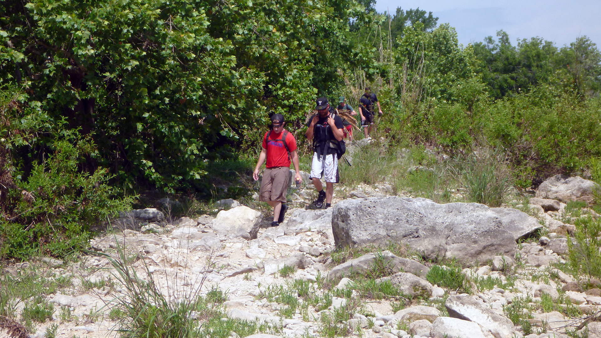
This proved to be a good call, as although there were some long pools we had to wade through and around, it would have been impractical to port the kayaks to these pools, there was simply too much difficult and dry terrain separating them. It was mostly dry along the bottom of the oxbow. From mile 6 to the narrows, it was wetter, but mostly knee deep or less, save one spot just shy of the narrows.
As we were approaching our goal, we began to hear children, and when we arrived, we were disappointed to see a group of about 20, ranging from a baby less than a year old to a man who had to be in his 70’s. I pondered how they were able to make the trip, when we in our early and mid-20’s had a pretty rough time of it 🙂
We got to talking, and it was a church group who had achieved private access. They mentioned something about Wellspring, which I looked up on Google, and is a church camp that appears to have property bordering the narrows from the map on the website. The guy we spoke with said they have cabins or houses for rent.
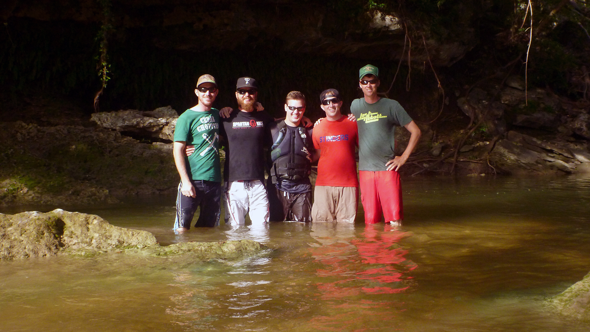
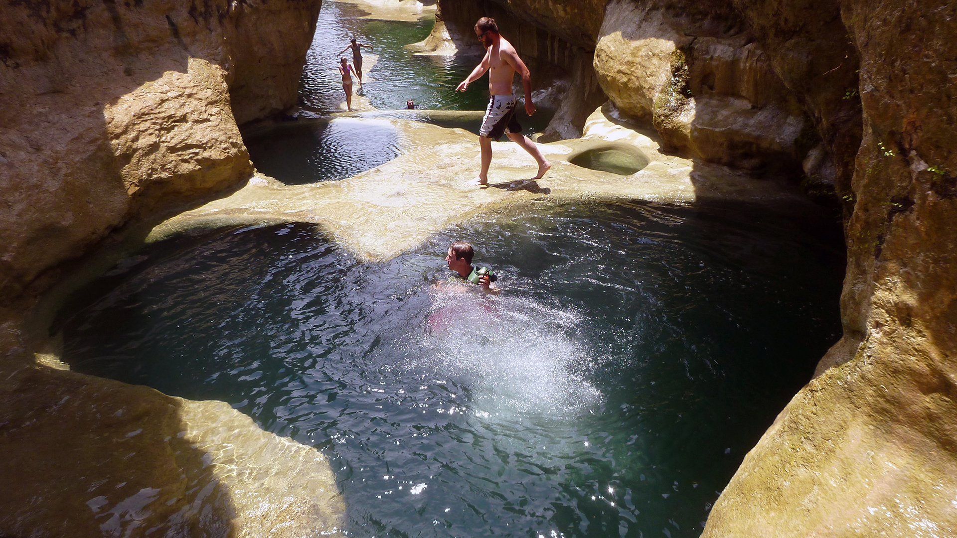
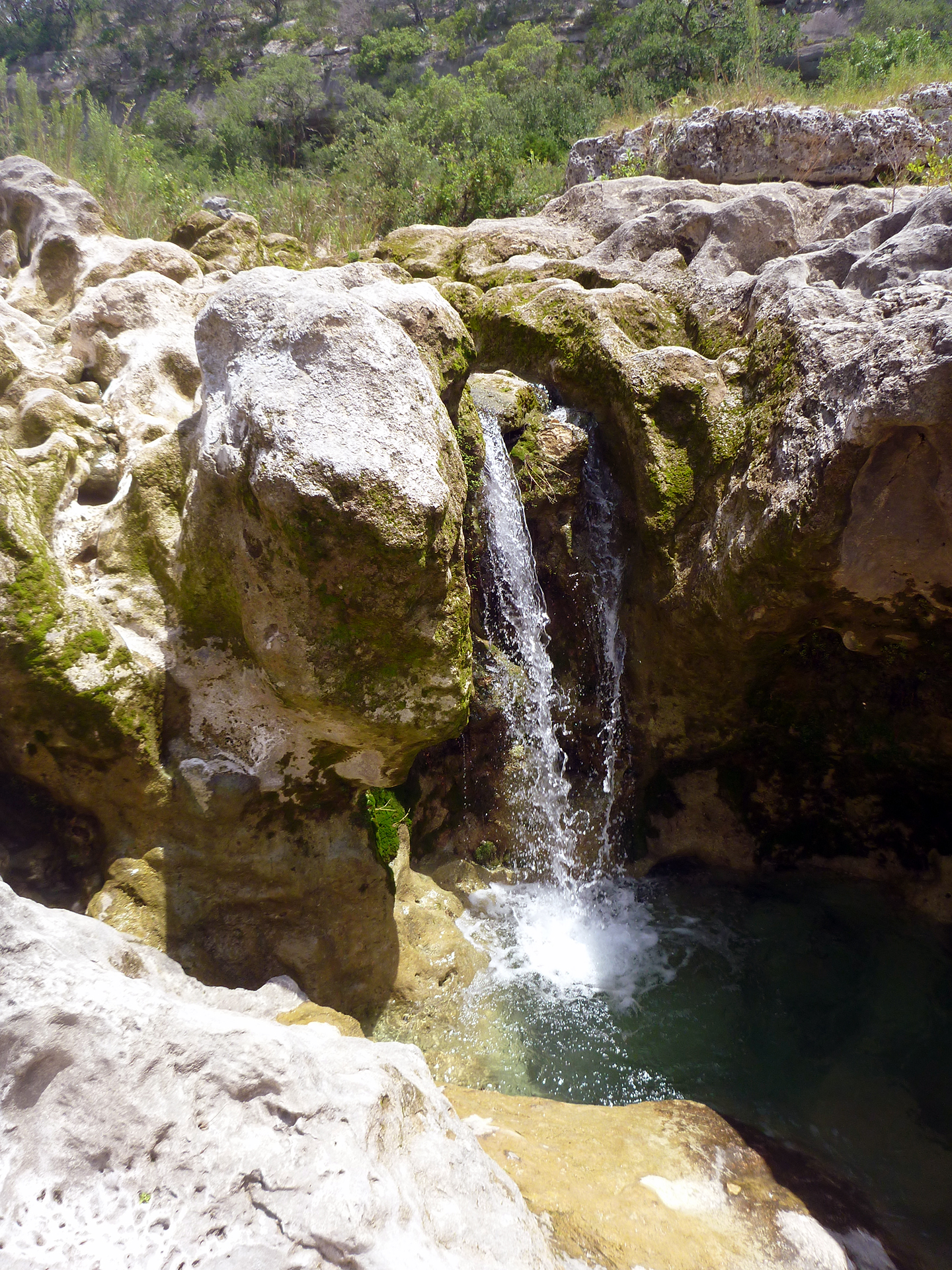
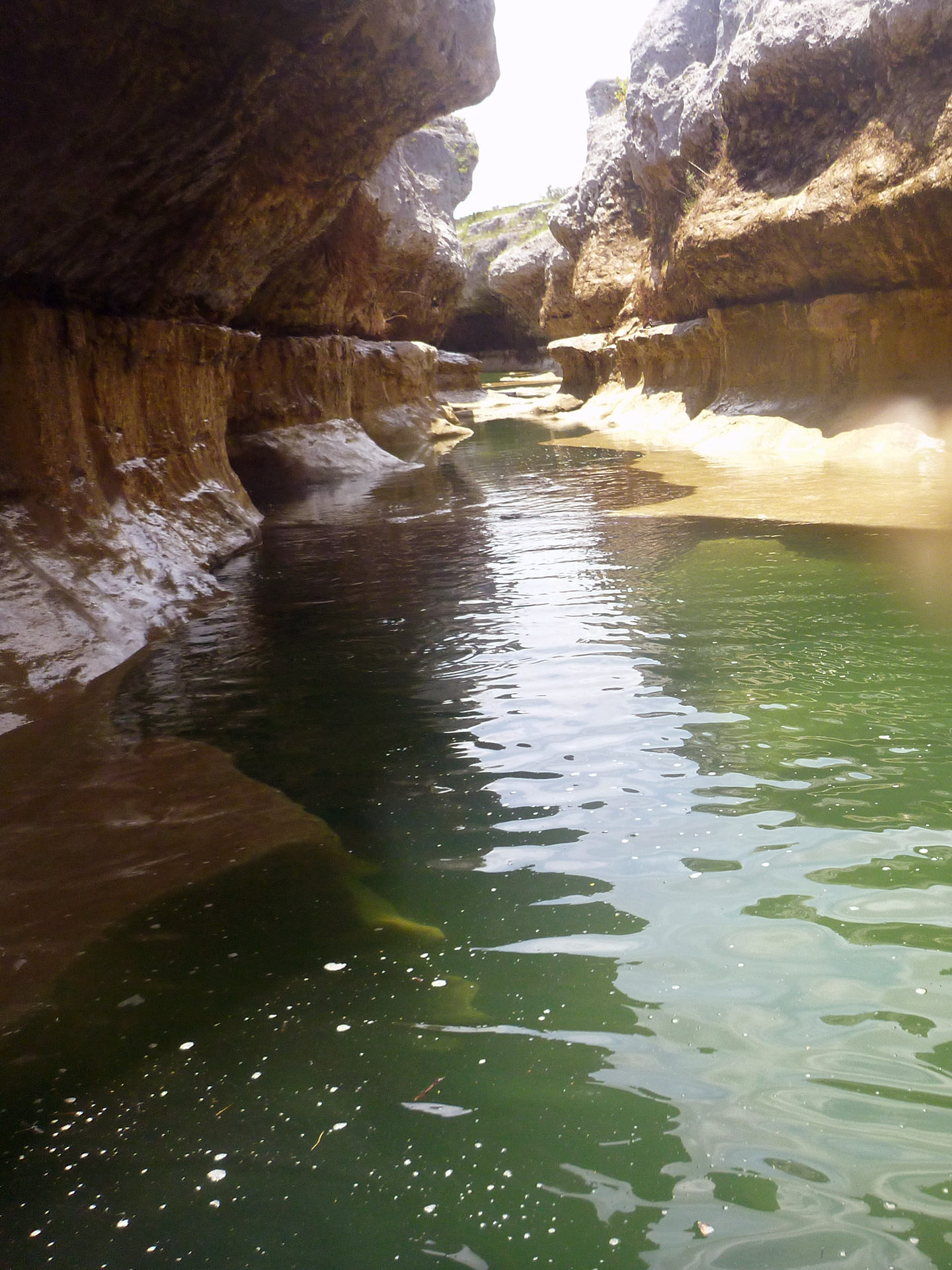
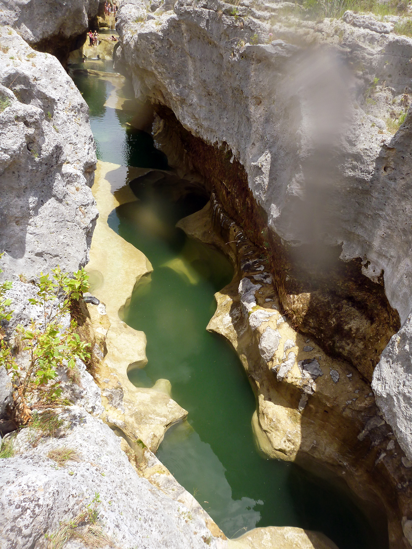
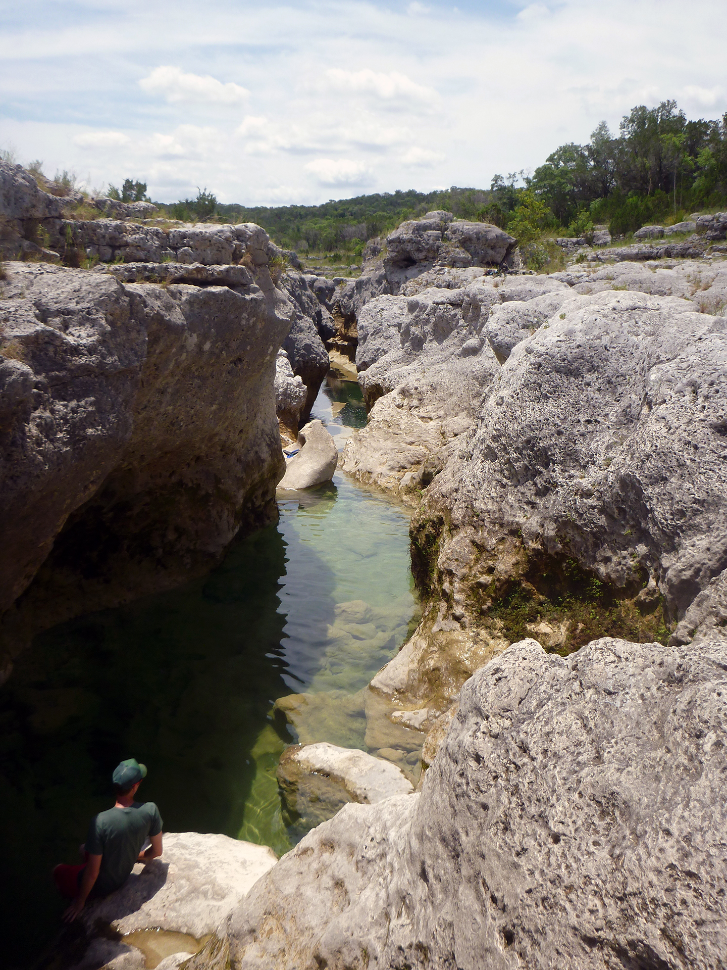
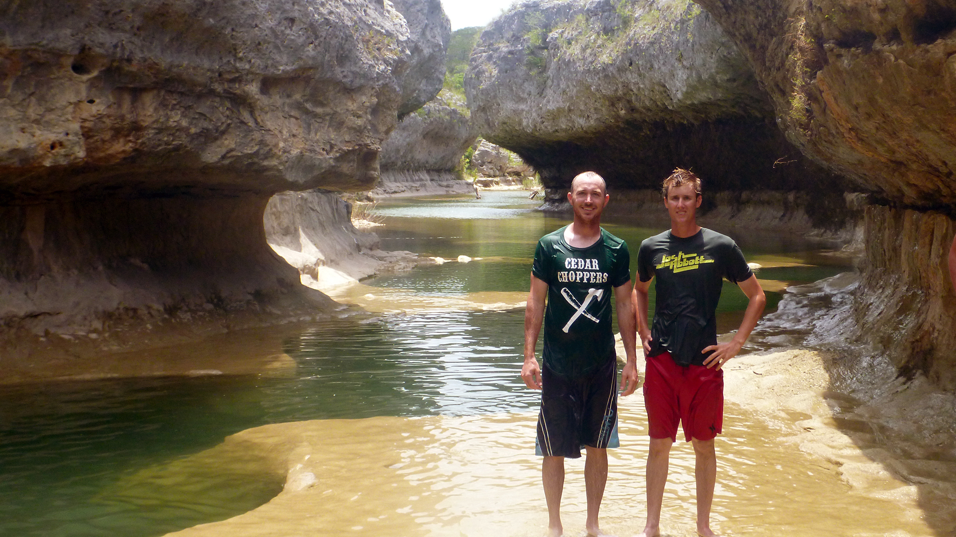
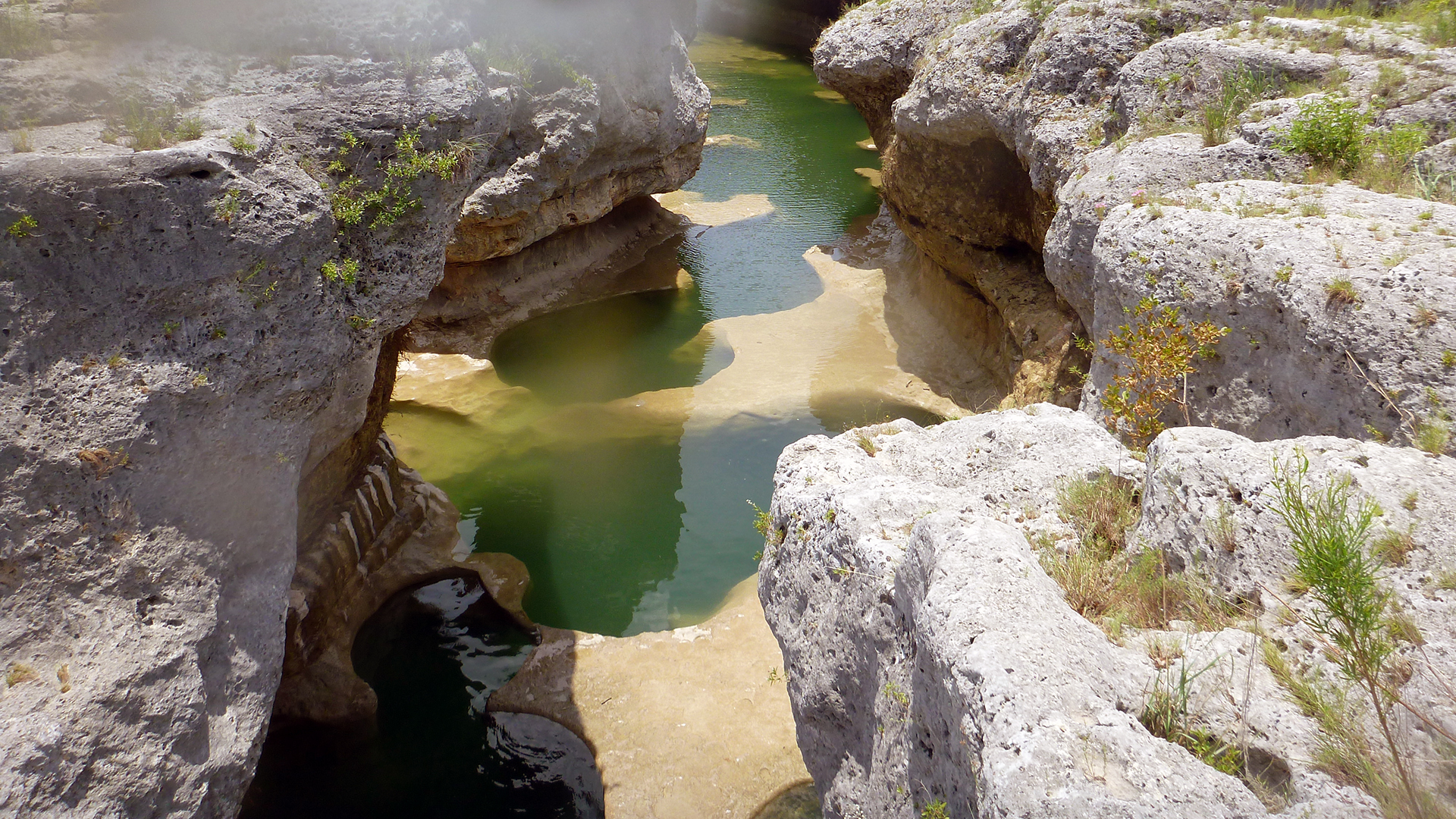
Although we didn’t have it to ourselves, the narrows was still beautiful. The water was the perfect temperature. It wasn’t muddy, but it wasn’t quite as clear as in the Dry Blanco writeup, there was a noticeable green color to all the deep pools. We ate our lunch, swam, and took a few pictures and videos, but only stayed an hour or so. I wanted to stay longer, but the travel time really didn’t allow for an extended stay. Seeing how it took us five hours to get there, we wanted to leave adequate time to make the return trip.
Remember if you are thinking of traveling the Blanco River to the Narrows, the Blanco River Pocket Guide is available: http://pocketguides.www.texasriverbum.com/
