This is part 9 of the “Why We Hike” Series
Due to some work related obligations, we had to push this trip back a week. But absence from the mountains definitely made the heart grow fonder!
This trip was two-fold in purpose. We had not seen Jazmin for over a month; she had left mid-June for her summer job at the Virginia Lakes Pack Outfit (VLPO) and since she wasn’t due to return until late August we decided to go up and visit her. The other thing we had in mind was taking Zach on his first overnight backpacking trip, and the Virginia Lakes trailhead was a perfect opportunity.
On Thursday we drove up the 395 with the top down on the Jeep. Holy crap was it hot. There was a massive rainstorm over Mt Whitney and as we passed east of it we were actually hoping it would hit us. No such luck, but we definitely cooled off as we rolled into VLPO that afternoon at 9,500′.
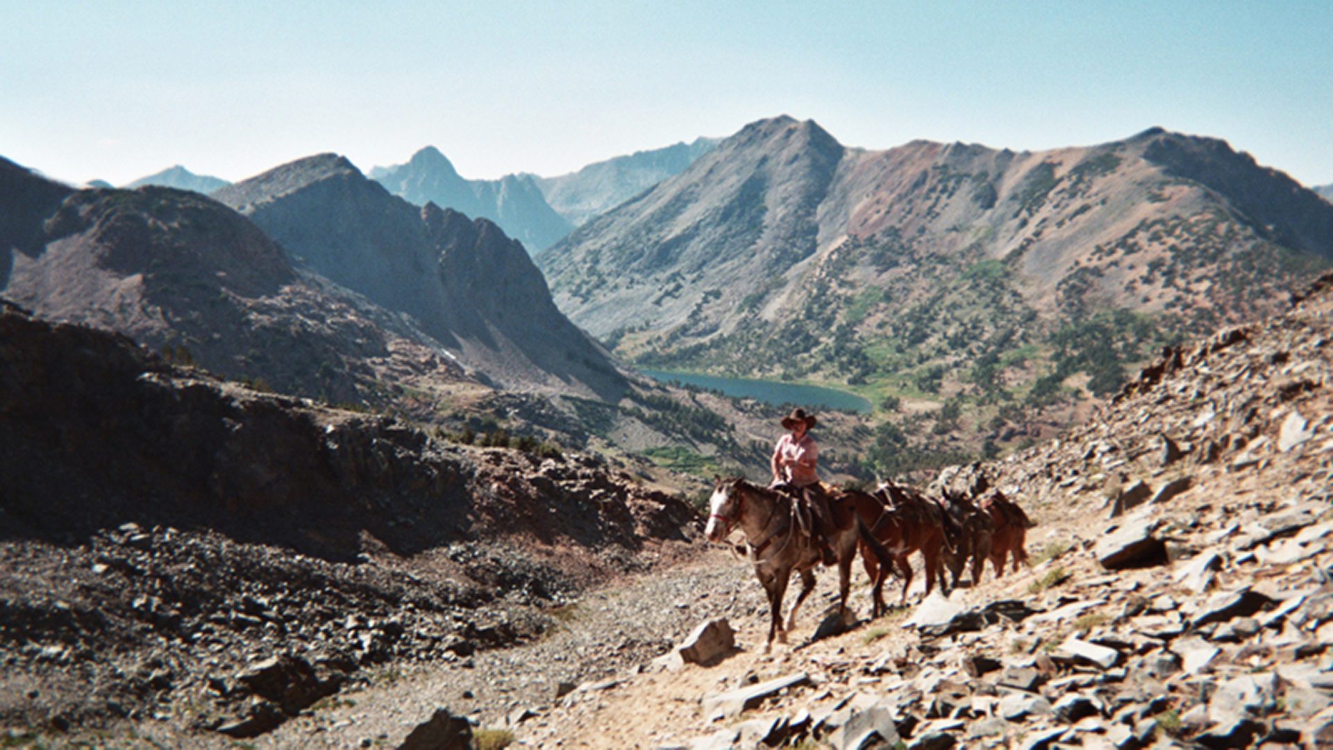
Now for those who do not know what a pack station does, here are the basics: (1) They load mules up and lead clients on horseback along with a mule train deep into the wilderness with as much luxury as the clients are willing to pay for. (2) Packers also do spot trips to drop off supplies or backpacks for hikers who are too lazy to carry it themselves. (3) Provide horseback rides (day rides) up through the local trails.
So we rounded up Jaz, dropped the trailer off and took our girl out to dinner. After dropping Jaz back off (she had to work the next day) we set up camp down the road from VLPO off an unimproved road, woke up early the next morning, packed the tent/trailer and drove a few miles to the trailhead. We didn’t hit the trail until about 8am – next time we needed to load our packs before leaving or at least the evening prior.
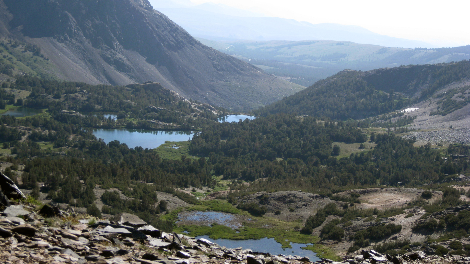
Anyway the hike was predictably gorgeous and we were seeing so many lakes and stream crossings that we started counting them. After passing through the Virginia Lakes Valley we ascended the talus path to Summit Pass. The view back over the valley was a little hazy but very rewarding.
We started the trail head at 9,800′ then climbed 2 miles to Summit Pass and 11,125′ – then the plan was to make a 5 mile decent into the Hoover Canyon where we would eventually drop to 8,900′ at Green Lake. According to the plan, the total round trip should be a little over 15 miles. The first day was the easy day, the return trip was going to be a lot tougher.
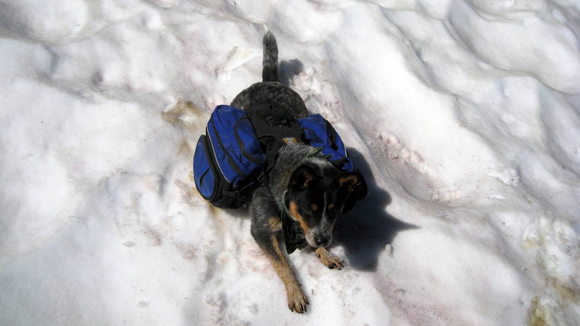
On the way down from Summit Pass, we stopped at a snow bank to let Zach play “dogsled” but the sun-cupped snow wasn’t very good for sliding.
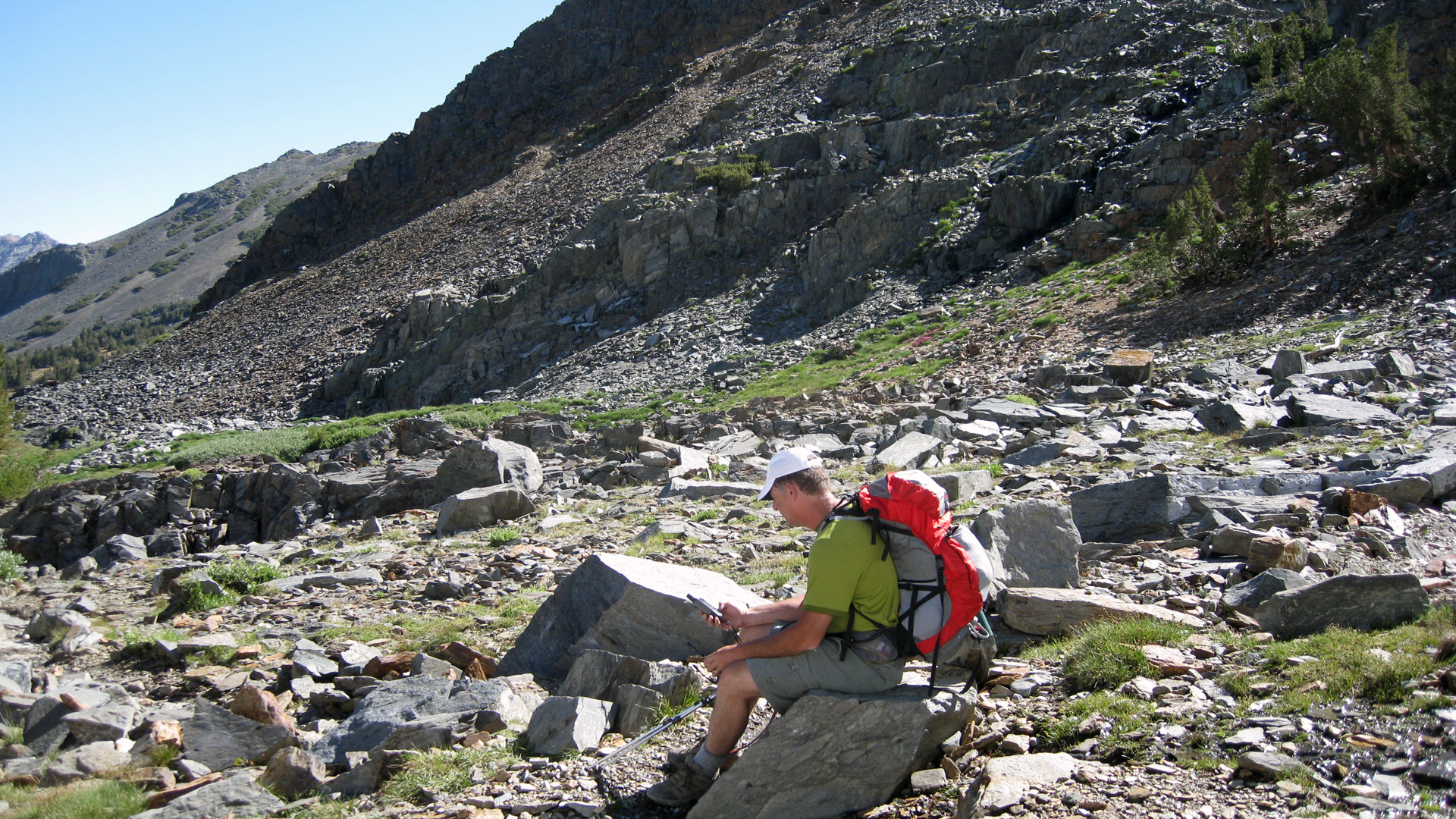
While Zach played, I spent some time studying the GPS. I haden’t told Kelly yet but I knew something about our distance was off from the plan.
On the way down the backside of Summit Pass we met a nice couple who asked us if we were Jazmin’s parents. Apparently Jaz was only 20 minutes ahead of us and gave them a message to say hi. The horses move slow but there was no way we could have caught up with her before the trail forked and she was headed into Yosemite while we were not.
We kept counting stream crossings and lakes as we passed by the Hoover Lakes. It was downhill and we were making good time but by the time we got to Gilman Lake I asked Kelly to stop so I could pull out a map. I had planned this hike using software; DeLorme Topo to be exact. But the distances it gave for the route was 7 miles from trailhead to Green Lake and the GPS recorded the distance was already 7 miles. A quick look at the map showed a good 2 to 2.5 miles still to go if we wanted to make Green Lake. We had agreed that more than 15 miles round trip would be too hard on Zach so we discussed options.
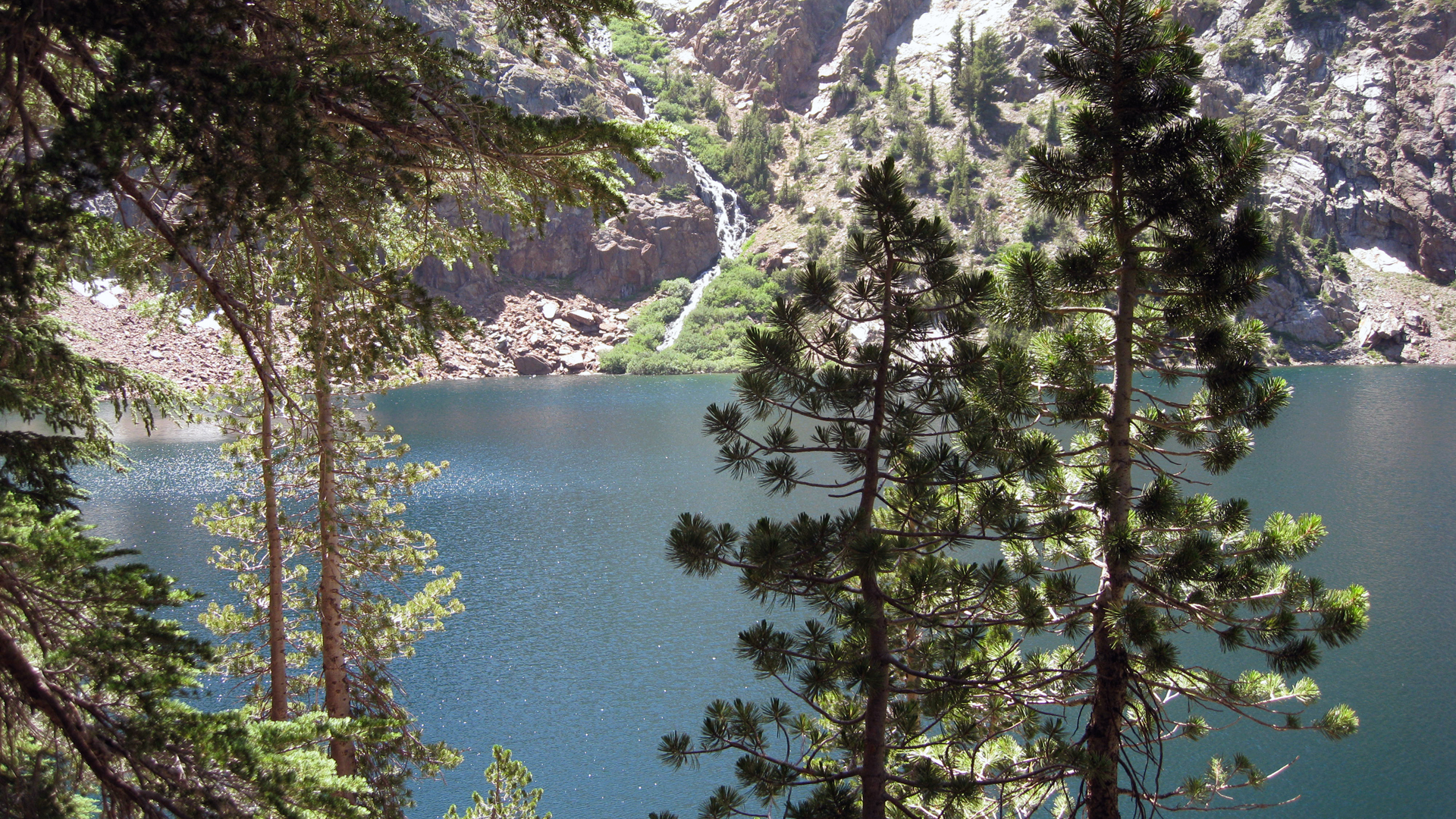
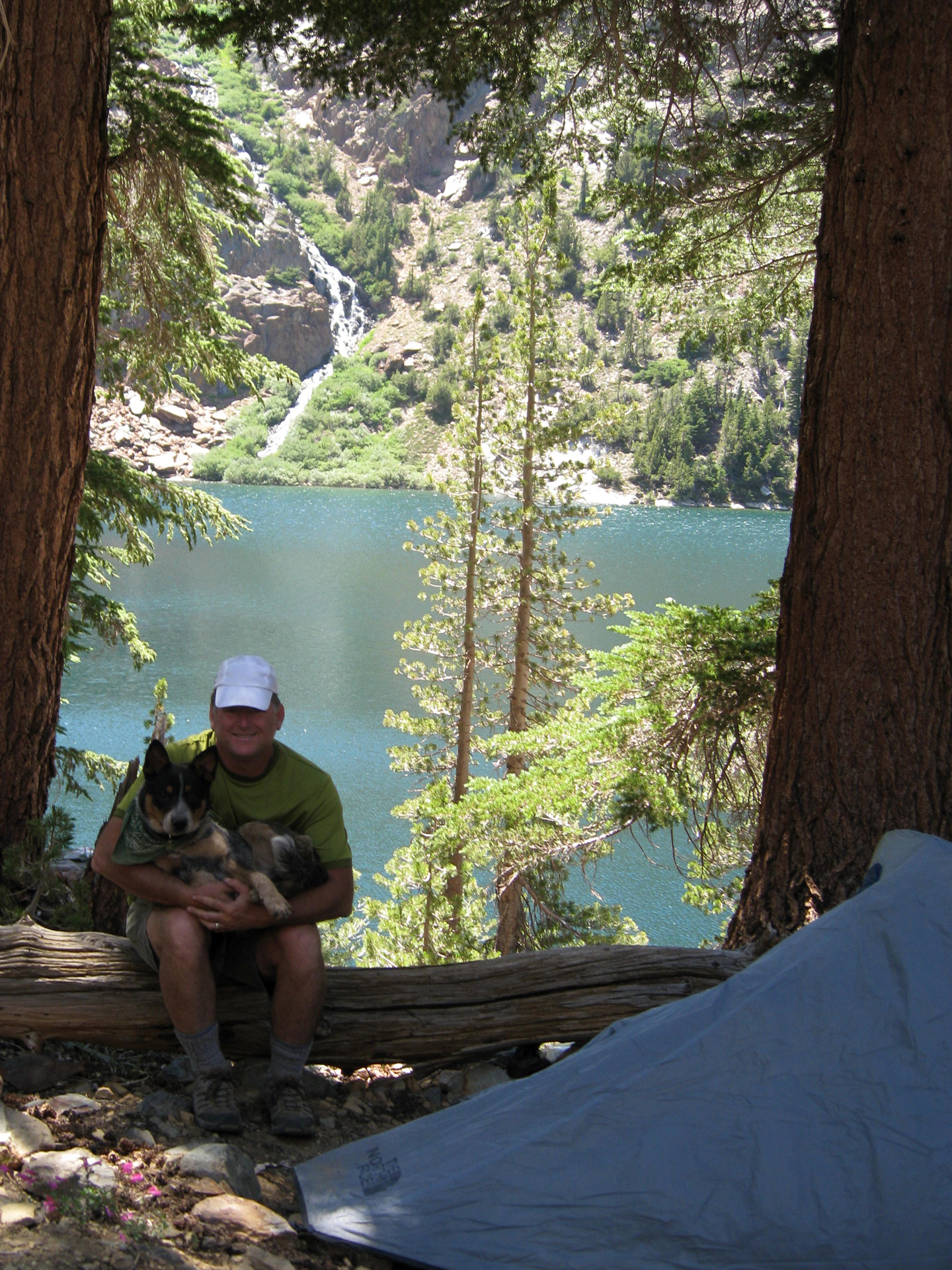
East Lake was only .5 miles ahead and still within the distance limits we set so we headed out. Once we got to the lake, we searched around until we found a lightly used path that took us well off the main trail to a couple of flat spots that could barely fit a tent. Our view was over a placid cove that had 2 waterfalls, one of which cascaded more than a 1000′ down. Yeah, this would do.
The final count for the day was 14 stream crossings and 15 lakes passed.
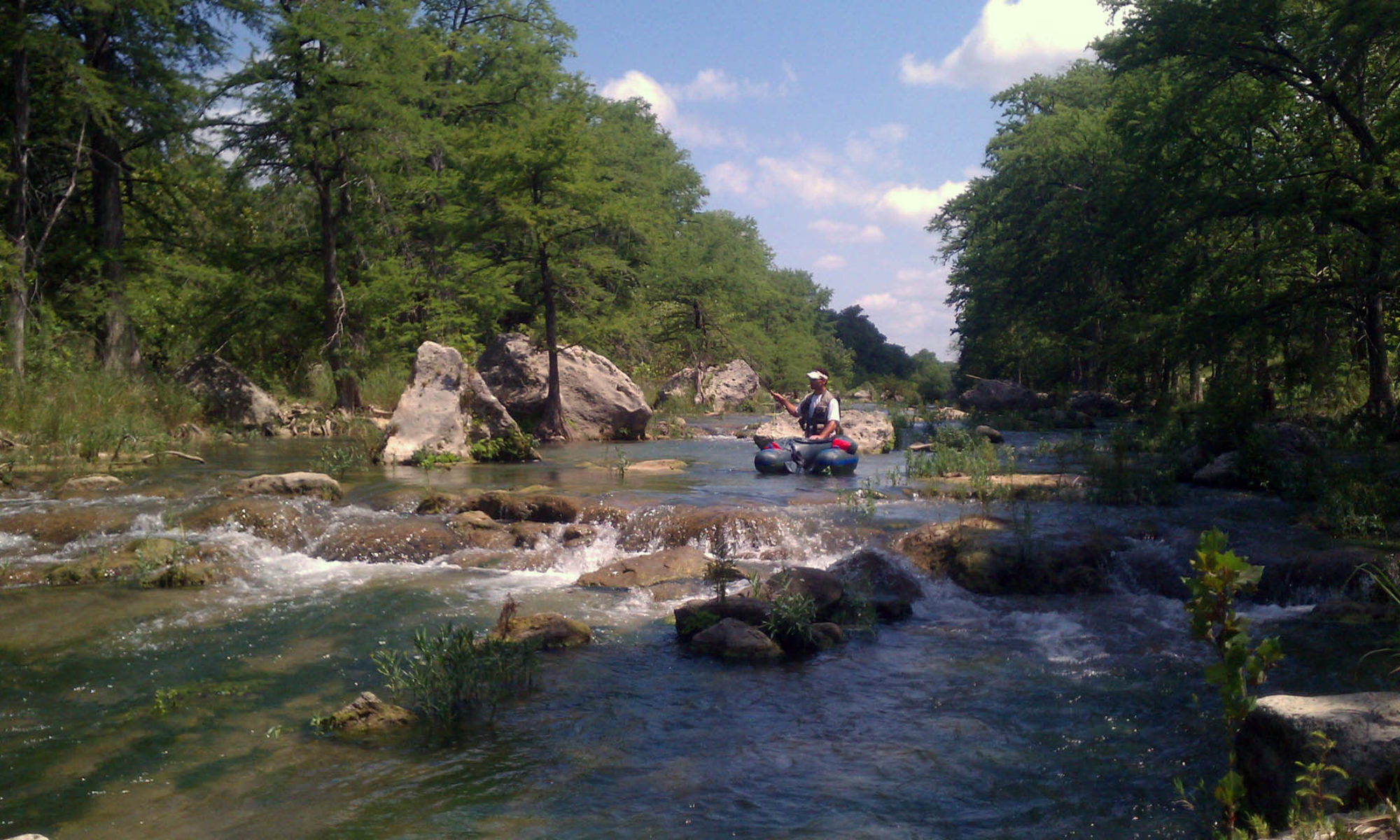
After lunch (which was an “adventure” in learning how to freezer bag cook) we spent the rest of the day exploring along the shoreline. Kelly read a book and dipped her feet in the water, I did a little fly fishing and Zach found a plush spot to nap while trying (and succeeding, see feature photo) to look as cute as possible.
We learned a few things that night about camping with Zach: (1) he prefers the dusty ground over the 2 lb. sleeping pad Kelly packed in for him, (2) it’s better to just put him inside the tent instead of the vestibule, he will snap at mosquitoes all night otherwise and (3) everyone needs to wake up at 2am because there are bats flying over the lake in the moonlight.
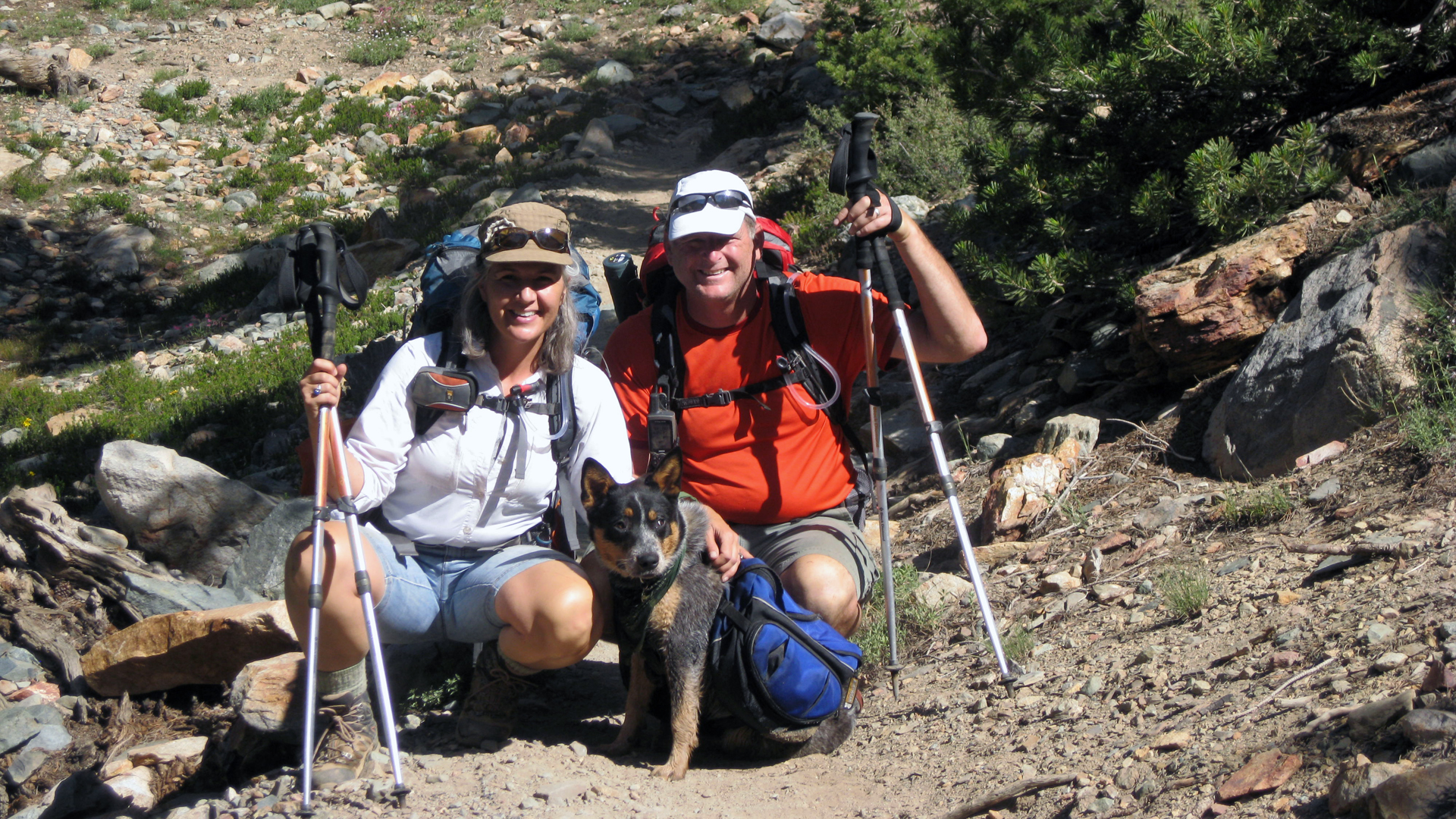
We arose in the predawn light (Zach helped) and were back on the trail by 6am. The idea was to move quick in the cool air of the morning to gain distance and it worked. We kept up a good pace all the way back up and over the pass. On the way down we ran across a few people and asked if they could shoot some photos of us.
We made the trailhead around 11am, not too bad. We went to VLPO and waited for Jaz to return from a 4 hour day ride. While we waited we took advantage of their offer to use the pack station showers and talked with the packers that were still there. After having lunch with our girl, we headed home. It was a good day.
Continued here: We Start The PCT
